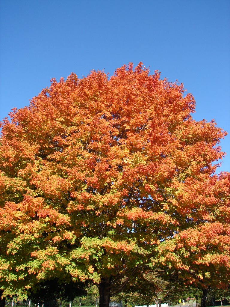
 Kennesaw colors. I took this one while I was driving around Kennesaw after my crop with the peaches.
Friday's convective outlook... IT APPEARS GREATEST SUPERCELL THREAT WILL OCCUR ACROSS SRN AL AND THE FL PANHANDLE. ISOLATED TORNADOES COULD FORM WITH THE STRONGER/ORGANIZED STORMS. For Friday, we are in the "Slight Risk" area, which is exciting. We're not in Southern Alabama or the panhandle, but we are close, and that use of the word supercell, got my juices flowing... (evil grin).
NWS says:A POTENT STORMS SYSTEM WILL APPROACH FROM THE WEST LATER IN THE WEEK. THE ASSOCIATED COLD FRONT WILL CROSS THE AREA ON FRIDAY. CONDITIONS CONTINUE TO LOOK FAVORABLE FOR SEVERE WEATHER ON THAT DAY. A SQUALL LINE OF THUNDERSTORMS IS EXPECTED TO DEVELOP AHEAD OF THE COLD FRONT WITH DAMAGING STRAIGHT LINE WINDS AND LARGE HAIL THE MAIN THREAT. HOWEVER...ISOLATED SUPERCELLS COULD DEVELOP AHEAD OF THE SQUALL LINE AND THESE COULD PRODUCE TORNADOES.
There they go with that word again... SUPERCELL!!! Makes me feel all tingly inside... sadly, I'm serious. This is the best forecast I've ever seen. (Granted, I haven't been doing this for long...) I'm going to stop writing now because it's just too exciting, and I don't want to get my hopes up too high, even though the models are in very good agreement with the evolution of these features (their words, not mine). This rocks!
Patiently awaiting a supercell...
~Dewdrop
Wednesday, October 25, 2006
slight risk...woohoo!
Subscribe to:
Post Comments (Atom)


No comments:
Post a Comment
Dew comment, please...